Mile by Mile: Everything You Need to Know About Running Wenatchee's Iconic River Loop
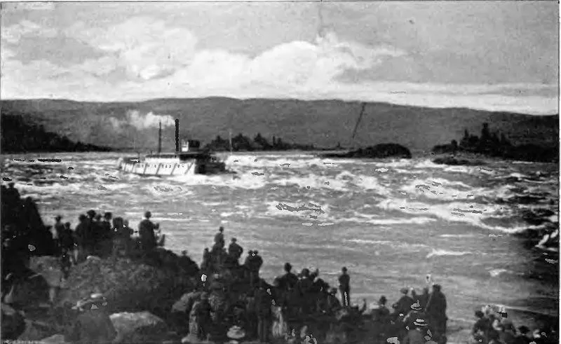
Photo: Unknown authorUnknown author, Public domain, via Wikimedia Commons
If you've spent any time running in Wenatchee, you've probably been pointed toward the river at some point. And for good reason. The Columbia River running corridor is the kind of route that makes you forget you're working out — wide paths, mountain backdrops, apple orchards in the distance, and that constant river breeze that somehow always seems to be at your back (at least on the good days).
But for all its popularity, a lot of local runners have only ever tackled pieces of it. Maybe you do the south end near Confluence State Park, or you stick to the paved stretch through Riverfront Park. The full loop, though? That's a different experience entirely — and it's one every Wenatchee runner should have in their back pocket.
Here's everything you need to know before you head out.
The Route at a Glance
The full river loop clocks in right around 10 miles, depending on your exact start point and how many detours you take along the way. Most local runners kick things off from Confluence State Park, which sits at the confluence of the Wenatchee and Columbia rivers — and yes, the name makes sense once you're standing there.
From Confluence, the route heads north along the east bank through Riverfront Park and the Apple Capital Loop Trail, eventually crossing one of the pedestrian bridges and looping back along the opposite bank. The surface alternates between paved path and packed gravel, making it accessible for road runners while still offering enough texture to keep things interesting.
Total elevation gain is minimal — we're talking a flat to gently rolling course — which makes this an ideal route for long runs, recovery days, or showing off Wenatchee to out-of-town running buddies.
Mile-by-Mile Breakdown
Miles 1–2: Confluence to the Boat Launch This opening stretch eases you in nicely. You'll pass the boat launch area and start picking up the Apple Capital Loop Trail proper. The path is wide and well-maintained here, and you'll likely share it with cyclists and dog walkers. Early morning is golden — the light hits the river just right and the orchards across the water start to glow.
Miles 3–4: Through Riverfront Park This is the most urban section of the loop, running through Wenatchee's downtown riverfront. You'll pass picnic areas, the bandshell, and plenty of benches if you need a quick breather. It's also where you'll find the most consistent water access, so take advantage if you're running in warmer months.
Miles 4–5: The North Bridge Crossing One of the route's highlights. Crossing the pedestrian bridge gives you a full panoramic view of the river valley — the Cascades to the west, the Columbia stretching south, and downtown Wenatchee behind you. A lot of runners stop here for a photo. We're not judging.
Miles 6–7: East Bank Return After the bridge, the route quiets down considerably. The east bank path runs through a more natural corridor, and you'll notice the surface gets a bit more varied underfoot. This is where the run starts to feel like a real adventure rather than a neighborhood jog.
Miles 8–9: Orchard Views and the Homestretch The final miles bring you back south with some of the best views of the Wenatchee Valley. Apple orchards line the hillside, and if you're running in spring, the blossoms are absolutely worth slowing down for. Don't be surprised if you find yourself planning a second lap.
Mile 10: Back to Confluence You'll know you're close when you can see the river confluence again. Most runners finish here and head straight to the water fountain near the park entrance. Earned.
Seasonal Conditions: What to Expect Year-Round
Spring (March–May): Arguably the best time to run the loop. Temperatures are mild, wildflowers are popping, and the apple blossoms make the valley smell incredible. Expect some muddy patches on the gravel sections after rain.
Summer (June–August): Hot and dry. Start early — we're talking 6 a.m. or before — to beat the heat. The paved sections can get scorching by mid-morning. Water stations in Riverfront Park are a lifesaver. Bring your own hydration just in case.
Fall (September–November): Underrated season for this run. The orchard colors are stunning, crowds thin out, and temperatures are perfect for longer efforts. Watch for fallen leaves making the path slippery near the bridge approaches.
Winter (December–February): Totally runnable, but go in with the right gear. Ice can form on shaded sections, particularly near the bridges. Yaktrax or screw shoes aren't overkill on cold mornings. The upside? You'll basically have the whole trail to yourself.
Water Access Points
Hydration planning is straightforward on this route. Water fountains are available at:
- Confluence State Park (near the main parking area)
- Riverfront Park (multiple locations between miles 3–4)
- The pavilion area near the bandshell
During summer months, there are also occasional pop-up water stations during community events. In winter, most fountains are shut off, so plan to carry your own.
Tips From Local Runners
We asked around, and here's what Wenatchee regulars consistently say about getting the most out of this route:
- Direction matters. Running the loop counterclockwise (heading north on the west bank first) means the sun is behind you on summer mornings and you hit the bridge crossing fresh.
- Weekday mornings are the move. Weekends bring cyclists, families, and tourists. If you want the trail to yourself, Tuesday at 7 a.m. is a different world.
- The gravel sections are worth it. Some runners skip the east bank to stay on pavement. Don't. The quieter side of the river is where this route earns its reputation.
- Bring cash or a card. There are a couple of coffee spots near the Riverfront Park section that are dangerous in the best possible way post-run.
Getting There
Most runners park at Confluence State Park (free day-use parking available). The address is 333 Olds Station Road, Wenatchee, WA 98801. There's also street parking along Wenatchee Avenue if you prefer to start from the middle of the route.
The Apple Capital Loop Trail is well-signed throughout, so navigation is pretty intuitive once you're on it. A quick look at the trail map posted near the Confluence trailhead is worth 30 seconds of your time before you head out.
Final Thoughts
The Columbia River loop isn't just a run — it's kind of a love letter to Wenatchee itself. Every mile shows you something different about this valley: the water, the orchards, the mountains, the community. It's the kind of route that reminds you why you started running in the first place.
New to town? This is your orientation run. Been here for years? It never gets old. Lace up and go find out for yourself.